

This post was originally published on this site.
New red heat warning in place but cooler weather on the way
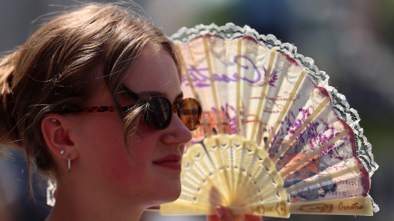 Image source, EPA
-
Published
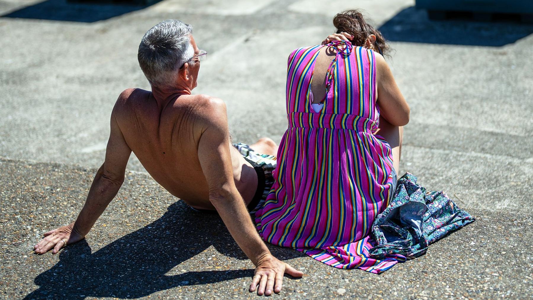
Temperatures are building quickly again on Friday for parts of the UK after another record-breaking day on Thursday.
Many parts of southern England and Wales endured overnight temperatures which widely remained in excess of 20C.
A Met Office red warning for extreme heat is in place for parts of south-east and central southern England up to Oxfordshire until 9pm, where temperatures could reach 35-37C (95F to 98.6F).
However, Friday will bring respite for some as cooler weather starts to move in from the west although warnings for thunderstorms have been also been issued.
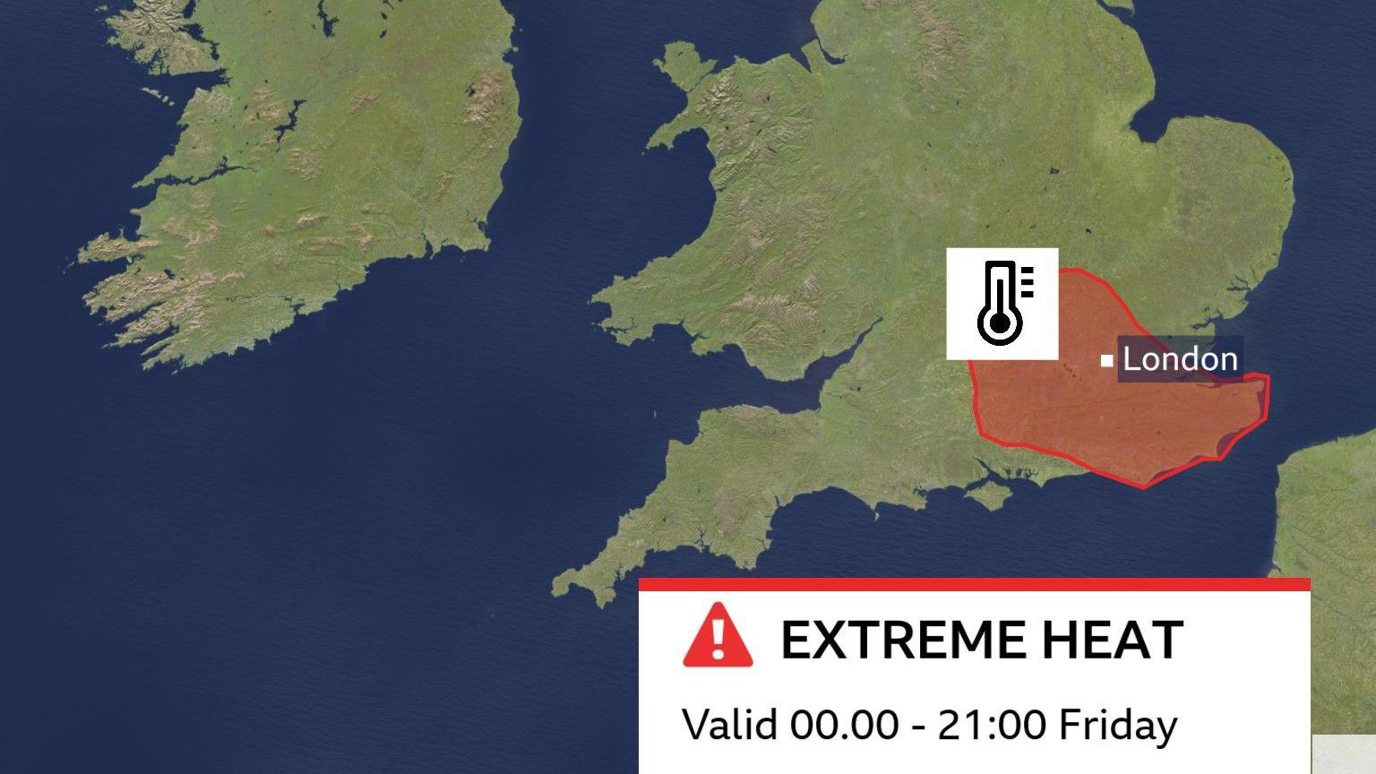 Image source, BBC Weather
National records fell again yesterday
Thursday was another record-breaking day across the UK with all four nations seeing their highest temperatures of the year so far.
In England Merryfield in Somerset reached 36.7C (98F). This sets a new UK record for the highest June temperature, surpassing the 36.1C set in Gosport, Hampshire, on Wednesday.
Wales also set a new June record with by reaching 36.6C in Cardiff.
Scotland and Northern Ireland both recorded their highest temperatures of the year so far with 31.2C in Threave and 30C at Castlederg.
A June record for minimum temperatures was highly anticipated overnight from Thursday to Friday but despite a ‘tropical night’ being experienced widely, the 22.7C recorded in Herstmonceux, East Sussex was not enough to beat Wednesday nights temperature of 23.5C in Cardiff.
What is a tropical night?
A tropical night is defined as when the temperature does not drop below 20C during a 24 hour period between 09:00 and 09:00.
In 2025 there were five tropical nights and this has already been equalled this year.
The record set in Cardiff on Wednesday exceeded the previous record of 22.7C set back in 1976.
Just a few weeks ago a new May highest minimum record was set in Camborne in Cornwall when temperature on May 27th did not drop below 21.4C.
Tropical nights aren’t that unusual in the summer months, but they are fairly rare in May and June.
It means that early morning temperatures start off higher and so can soar very quickly.
When will the heatwave end?
On Friday the worst of the heat and the humidity is likely to move further eastwards and it will feel a little cooler further west.
Within the red warning area temperatures could peak for some at 37 or 38C.
There is a wider amber warning stretching across the Midlands and East Anglia where temperatures are still likely to reach the low 30s.
Following localised overnight thunderstorms for some across Scotland, Northern Ireland and northern England, there could be further thundery showers through the morning on Friday and for some they will rumble on into the afternoon.
With plenty of heat energy in the atmosphere some of the thunderstorms could produce intense downpours with gusty winds, frequent lightning and hail.
Friday night will be less warm but temperatures in south-east England and East Anglia may still not drop below 20C.
Turning cooler from the west this weekend
Temperatures on Saturday are again likely to peak above 30C. There is still an amber warning for extreme heat in place until 0900 on Sunday for south-east England and East Anglia.
Much of England and Wales will see another very warm or hot day with plenty of sunshine.
The cooling trend continues further north and west with the low twenties for Scotland, Northern Ireland, western Wales and the far north and south-west of England.
As westerly winds and Atlantic air takes over, temperatures will still be above, but much closer to the seasonal average on Sunday, peaking in the high teens to the mid twenties.
Check the forecast for your local area here.
-
-
Published22 hours ago
-
-
-
Published1 day ago
-


