

This post was originally published on this site.
Monthly Outlook
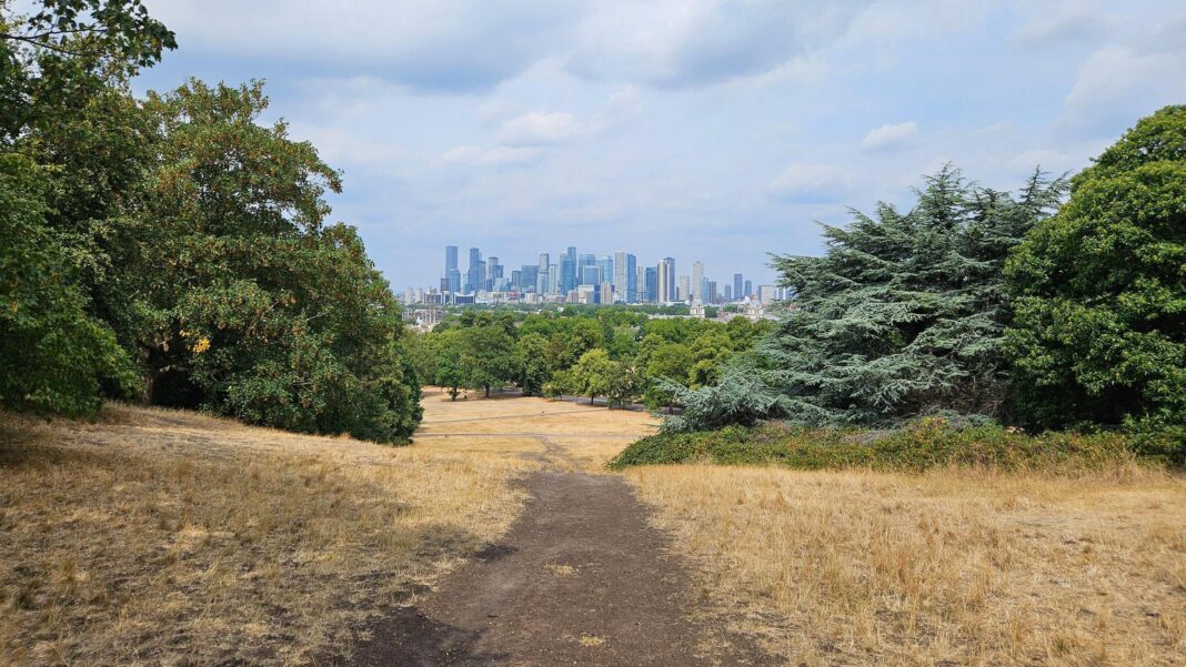
 Image source, BBC Weather Watchers / MrBlueSky
-
Published
Scotland and Northern Ireland will be wet at times through the rest of this week.
Heat across much of England and parts of Wales will ease by the weekend, with a more unsettled and less warm period expected next week.
By late August, high pressure dominance may return before chances of some thundery outbreaks in early September.
Wednesday 12 to Sunday 16 August
Hot in places initially, then turning less warm
Temperatures will be above or well above average across the UK on Wednesday and Thursday, rising above 30C across many parts of England and eastern Wales. It will reach the mid- or even upper 30s in places, with the heat peaking on Thursday.
There should be plenty of sunshine again, but a front is going to bring some sharp showers, scattered thunderstorms or more widespread rain to Northern Ireland and the north and west of Scotland.
Temperatures should come down a notch on Friday but still reach the low 30s in parts of central, eastern and southern England. Northern Ireland, Wales, Scotland and northern England will, however, see a cooler air mass starting to move in as winds become more westerly to north-westerly and a front brings scattered showers.
Isolated showers may develop across other parts of England but most parts should stay dry.
Temperatures will ease further at the weekend. Although much of the UK will be dry, further showers are possible here and there, mainly in northern and western regions, with isolated lightning strikes.
More widespread rain is possible on an Atlantic system on Sunday or Sunday night, most probably across Scotland and Northern Ireland. But for now, most of the rain is likely to still miss the areas that need it most.
Monday 17 to Sunday 23 August
Changeable with temperatures moderating
Next week, there are signs of high pressure receding for a time, allowing Atlantic low pressure and frontal systems closer to the UK. This should bring a greater chance of rain, showers and thunderstorms, even at times to some southern regions, with winds likely to strengthen at times as well.
However, the south and east may still see less rain than the north and west, and as the week progresses we might see high pressure trying to re-establish itself, with a chance of drier and warmer weather returning to some areas. For the week overall, rainfall amounts may be near or still locally below normal.
Temperatures should still be above normal overall in most areas, with a reduction in temperatures for a while before warmth returns, although the northern UK may have temperatures closer to average.
Monday 24 August to Sunday 6 September
Most probably still warmer than normal
Confidence in the outlook is low for the last week of August and the first week of September, with longer-range models depicting differing possibilities.
The most probable scenario is for high pressure to have some sort of presence near or across for much of the time, once again promoting warmer-than-normal conditions. There will be a chance of further hot days in some locations, depending on exactly where the high pressure aligns, and in any case, warm conditions are more likely than cool.
At times, however, low pressure may approach, which could encourage the occasional development of heavy showers and thunderstorms, or even a couple of periods of frontal rain. Precipitation amounts for the period are more likely to be near or below average than above.
Alternatively, although less likely, high pressure may be weaker, allowing low pressure systems to more readily infiltrate from the west, bringing cooler and wetter conditions.
Further ahead
In Friday’s update, will the outlooks for early September resolve themselves, and will warmer-than-average weather still be more likely? Additionally, what might mid-September look like?
-
-
Published5 days ago
-
-
-
Published22 June

-
-
-
Published7 April 2022
-