

This post was originally published on this site.
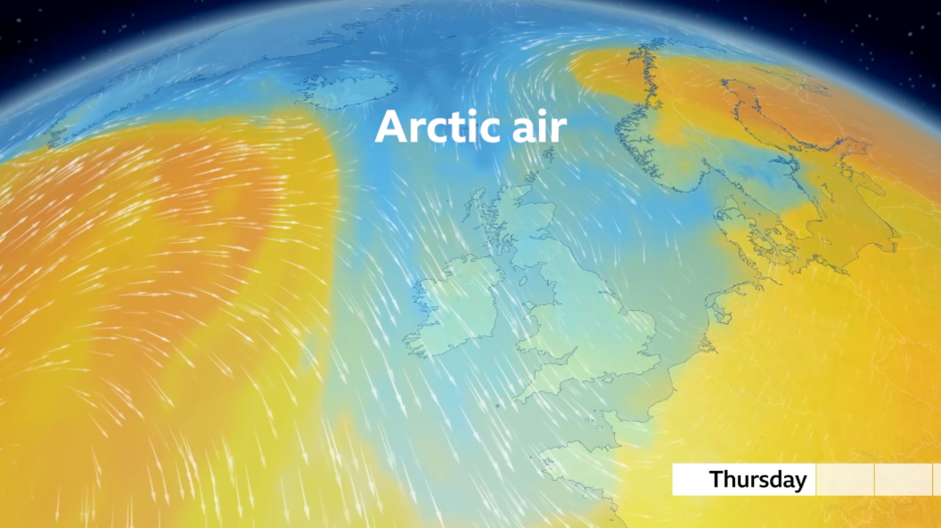
Arctic air is set to sweep across the UK this week, with a cold snap forecast to replace the spring warmth many have felt in recent days.
Temperatures are expected to fall well below the mid-May average for most, especially from midweek.
It’s also going to turn quite showery with the potential for some heavy downpours, even turning wintry over high ground.
However, with some strong spring sunshine also in the forecast, with lighter winds later in the week, it will still feel pleasantly warm at times.
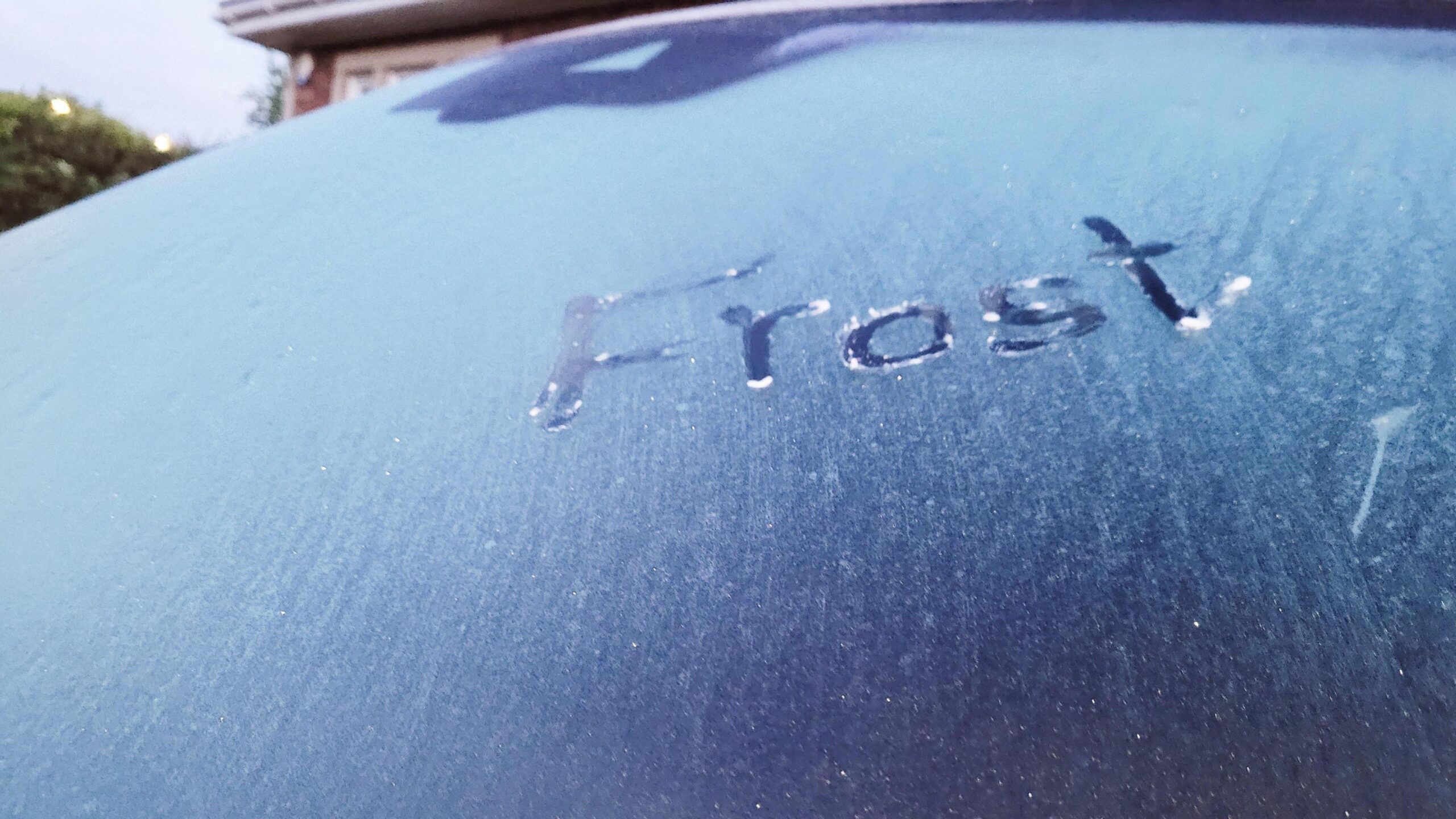 BBC Weather Watchers / Caspellwynd
Monday will start pretty chilly with some early morning frost across Scotland, northern England and even south-east England.
There’ll be some showers moving southward across the UK with a lot of dry and sunny weather between.
But, with a cool northerly wind developing on Monday temperatures across the UK will only be around 9 to 14C, falling short of the mid-May average of 12-17C.
While temperatures may rise slightly on Tuesday, they will drop again from Wednesday onward.
With the air coming from northern Scandinavia and the Arctic circle, temperatures will be around 3 to 7 C below average.
Low pressure will become more dominant with some strengthening winds and showers.
With the colder air in place those showers could be a little wintry with snow over the high ground of Scotland, which is not unusual at this time of year.
Daytime temperatures will be around 9 to 14C and overnight temperatures around 3 to 6C, though it could be chillier in rural areas.
Gardeners beware that some rural ground frost is still likely too.
Spring temperature swings
Spring is the transition season from winter to summer and so big swings in temperature and weather is expected.
The wind direction we experience in the UK can make a big difference.
Any southerly will drag in the increasingly warm air from the Mediterranean, potentially boosting temperatures into the high twenties.
Just as we saw in early April when we recorded the highest temperature of the year so far with 26.6C in Kew Gardens, London.
Any northerly wind will drag in the still cold Arctic air which limits temperatures.
Last week the overnight temperature in Tomintoul, Moray, fell to -6.8C. This was the lowest May temperature since 1997.
Temperatures will start rise back to average later this week but there may also be some rain in the forecast. You can stay up to date with our latest monthly outlook here.


