

Severe weather warning issued ahead of potential UK storm later this week
 Image source, Getty Images
-
Published
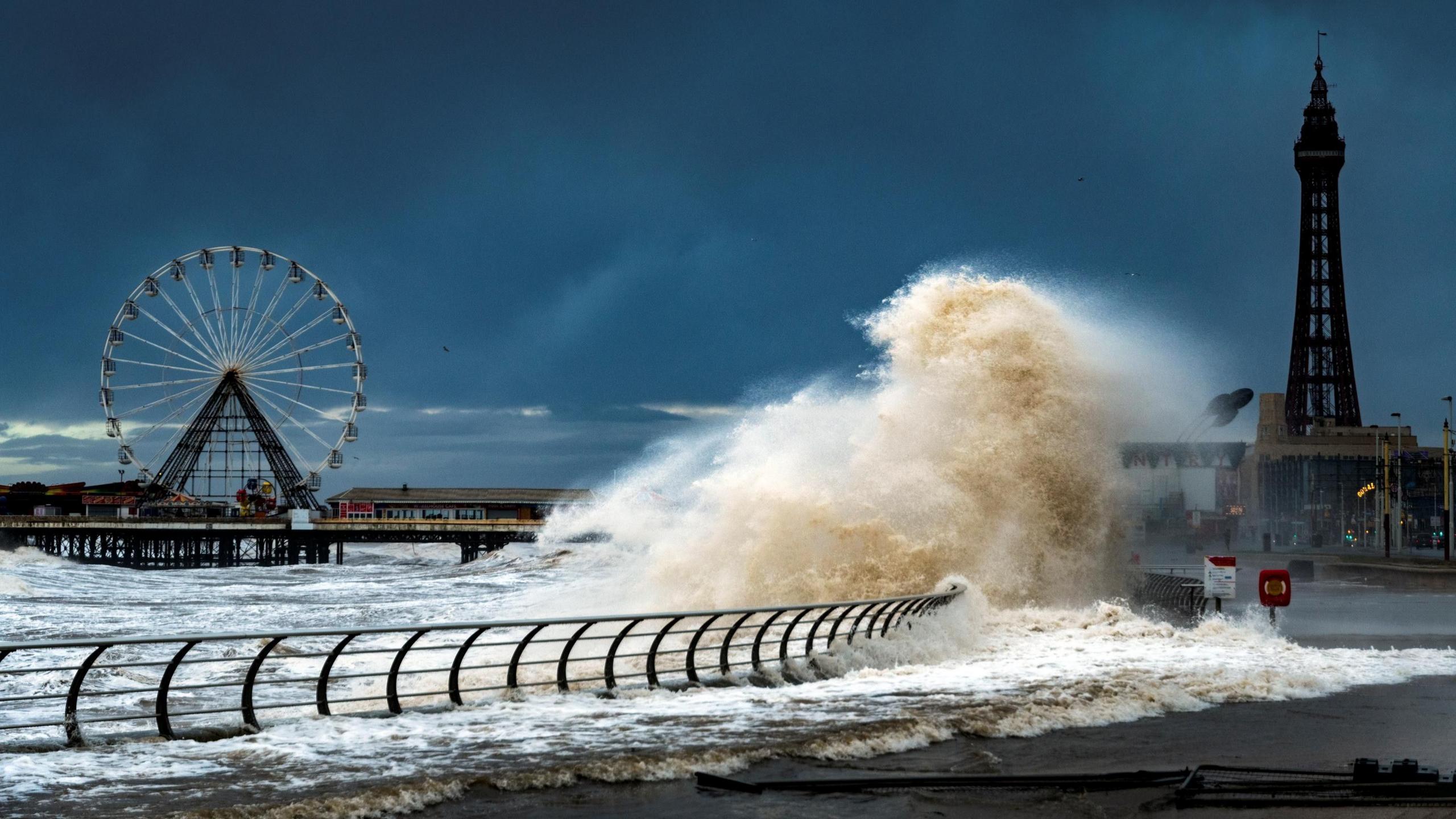
The UK may see its first named storm of the autumn as forecasts show the potential for a deep area of low pressure to cross the UK later this week.
A yellow severe weather warning has been issued by the Met Office for Friday in south-western parts of the UK.
Strong winds, with gusts as high as 70mph, are possible in the worst affected areas.
The whole of the UK will experience rain at times, including places currently in drought, but amounts will depend on the exact track of a stormy low pressure system from late Thursday.
Strong jet stream to bring turbulent weather
The week ahead will be the wettest – and windiest – of the autumn so far.
Bands of rain will affect the UK that will widely bring some significant rainfall.
On Tuesday, heavy rain will spread in across much of England and east Wales and head towards Scotland later in the day.
More areas of rain are likely on Wednesday to many parts of the UK.
Then, later this week there is the potential for the first named storm of the season.
The Met Office has issued a yellow severe weather warning from midnight to 12:00 BST on Friday.
It covers south-west Wales and south-west England and along the coast towards west Sussex.
Winds are likely to strengthen with gusts widely of 50-60mph with more exposed locations seeing gusts up to 70mph.
There could be travel disruption, damage to buildings and a small risk of power cuts.
In addition gales or even severe gales, there will be heavy rain too.
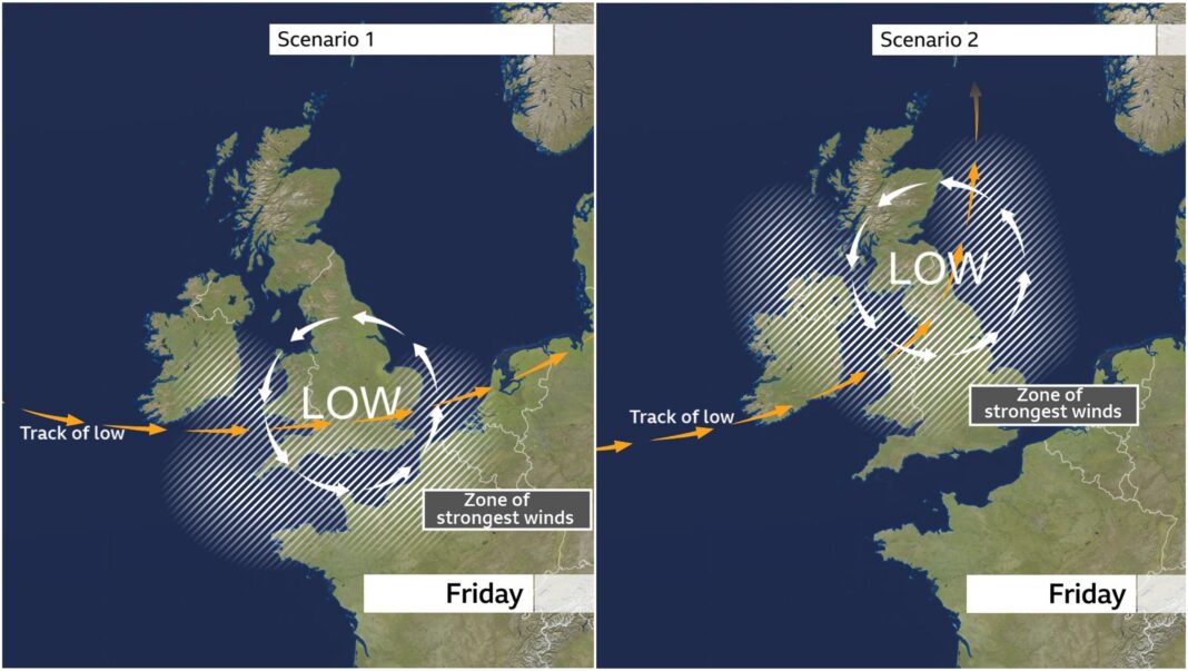
There is still some uncertainty in the exact track of this deep area of low pressure and that will have an impact on where the strongest winds might be.
At the moment most computer models take the centre of the low pressure system across the southern areas of the UK.
The highest risk of disruptive winds would be over southernmost parts of England and Wales and possibly some eastern coastal counties of England later on Friday.
However, some computer models show the deep low taking a more northerly track. If this happens, then gales and disruption could be expected more widely with impacts also in Scotland and Northern Ireland.
The uncertainty of the track means the forecast could change and it is important to keep across any updates to Met Office weather warnings.
 Image source, Getty Images
What will the first named storm of the season be called?
If the UK Met Office or Ireland’s Met Éireann expects this week’s low pressure system to bring significant impacts, that would lead them to issue weather warnings at an amber level or higher.
If the storm is then named, it will be called Storm Austen.
It is possible that the low pressure system could follow an even more southerly track, meaning greater impacts in France and less across the UK, and the French weather service MeteoFrance could name it Storm Bruna.
Developments at the end of the week will also dictate potential weather conditions into the following week, with some computer models showing further stormy weather at times, while others suggest quieter conditions under a developing high pressure system.
-
-
Published1 September
-
-
-
Published2 days ago
-
-
-
Published6 days ago
-