


This post was originally published on this site.
Thunderstorm warnings continue for parts of UK with more rain expected
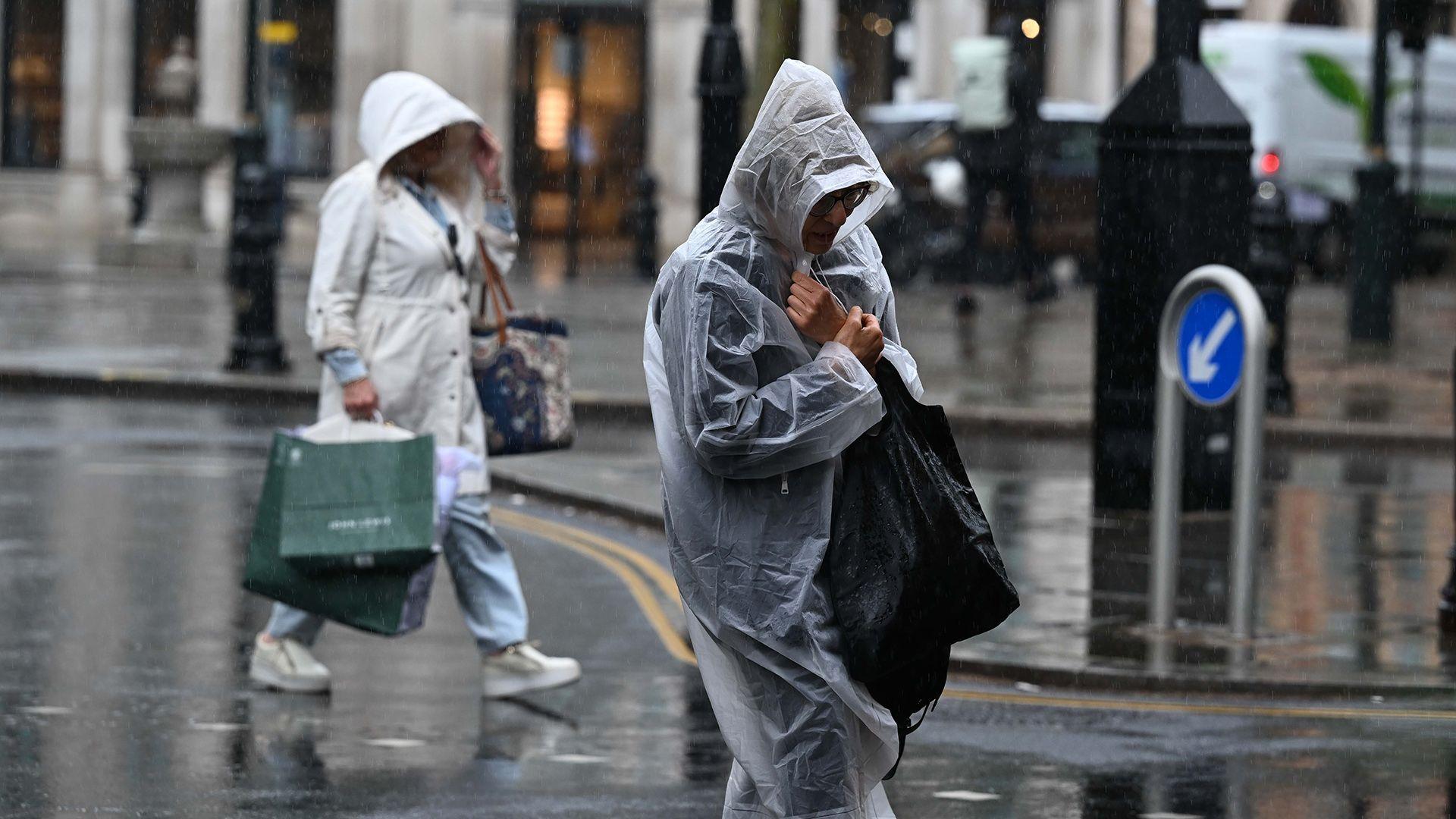 Image source, Anadolu via Getty Images
-
Published
Met Office yellow warnings will remain in force for most of Thursday as heavy rain and thunderstorms move northwards across the UK.
An initial warning that covered south-east England for the early morning has now expired, but another one covers a broader swathe of England and Wales and is valid until 22:00 BST.
Downpours will continue to bring the risk of flash flooding and travel disruption, with up to 75mm (3in) of rain possible in places – accompanied by large hail, lightning and gusty winds.
A number of flood warnings, external have now been issued by the Environment Agency across parts of the Midlands.
Spells of rain are set to continue over the weekend – a bank holiday for England, Wales and Northern Ireland – accompanied by windy conditions in the south.
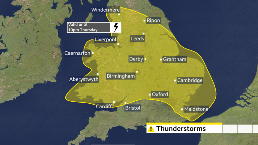
Downpours drifting northwards on Thursday
It was a wet start to Thursday in southern England and south Wales, with Herstmonceux in East Sussex recording 21.4mm (0.8in) of rain in six hours overnight, according to the Met Office.
Widespread thunderstorms have also been spreading across Wales, the Midlands and parts of eastern England with tricky driving conditions for morning commuters.
Those showers and storms will arrive in northern England by the early afternoon.
As this initial zone of downpours clears northwards the skies will brighten and sunny spells will develop, but further scattered showers are possible.
These could, again, be very heavy and thundery.
Some rain is likely to arrive in parts of Northern Ireland and Scotland late in the day, although these northern areas of the UK are likely to avoid the very wettest weather.
-
Fire service called to ‘significant flooding’
-
Published32 minutes ago
-
-
Why are there no thunderstorms showing on my app?
-
Published1 day ago
-
Within the Met Office yellow warning area, 20-30mm (0.8-1.2in) of rain could fall in just a few hours, with up to 50mm (2in) over a 12-hour period.
Hills exposed to the easterly wind could possibly see 75mm (3in).
Hazardous driving conditions are expected with a chance that roads will be closed and communities cut off.
Lightning strikes could lead to power cuts, and hailstones of 1-2cm (0.4-0.8in) are also possible.
The wet weather will be welcome news for the large areas of England and Wales that remain in drought, however there is the increased risk of flash flooding where the ground is very dry and hard.
Not enough rain will fall to alleviate the recent dry spell, with experts warning that months of persistent wet weather is needed to replenish water supplies.
A weekend of events – and more rain
The coming weekend brings a number of festivals and high-profile events.
Reading and Leeds Festivals both run from Thursday until Sunday, as does Creamfields in Cheshire.
Manchester Pride takes place from Friday until Bank Holiday Monday, while Saturday marks the start of Notting Hill Carnival in London, which also continues until Monday.
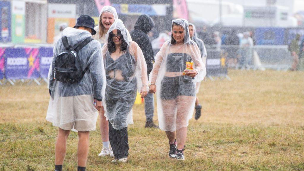 Image source, Joseph Okpako / Getty Images
The weather looks decidedly mixed for these events, with a fresher feel, brisk winds – especially in the south – and the likelihood of rain at times.
A zone of wet weather will move eastwards across England and Wales on Saturday, although drier and brighter conditions may spread from the west later. Northern Ireland and Scotland will be a little drier with some sunny spells, but there is still the chance of a few showers.
More heavy showers will move eastwards on Sunday, this time affecting most parts of the UK. Some of these could be heavy and thundery, with wind gusts touching 40-45mph (64-72km/h) in the far south-west of England later.
Temperatures will tend to range from 16C (61F) in northern Scotland to 23C (73F) in southern England, which is about normal for late August.
Low pressure remains in charge on Monday meaning strong winds and further showers, perhaps heaviest across the north of the UK.
There is no sign of a return to the dry and hot weather that has dominated this summer.
Whatever your plans for the weekend, you can keep up to date with the forecast by checking the BBC Weather website and app.
-
-
Published5 days ago
-
-
-
Published2 hours ago
-
-
-
Published4 days ago

-