
This post was originally published on this site.
UK set to turn cooler as unsettled weather continues
 Image source, Getty
-
Published
Much of the UK is set to feel cooler from Tuesday, as more changeable weather moves in.
Parts of the UK are also likely to see some spells of rain, especially to northern and western parts of the UK.
The rest of the week stays a little unsettled with further spells of rain.
It could turn more settled into next week with temperatures rising above average for some, though heatwave conditions are looking increasingly unlikely.
Tuesday will start off relatively warm and muggy across central and south-eastern areas of England but further north and west it will start to feel a little cooler.
That cooler air will be moving south-east behind a cold front that will also bring a spell of rain across England and Wales for a time.
Fresher north-westerly winds will develop across all areas bringing showers – some heavy – to Scotland, Northern Ireland and more north-western parts of England and Wales.
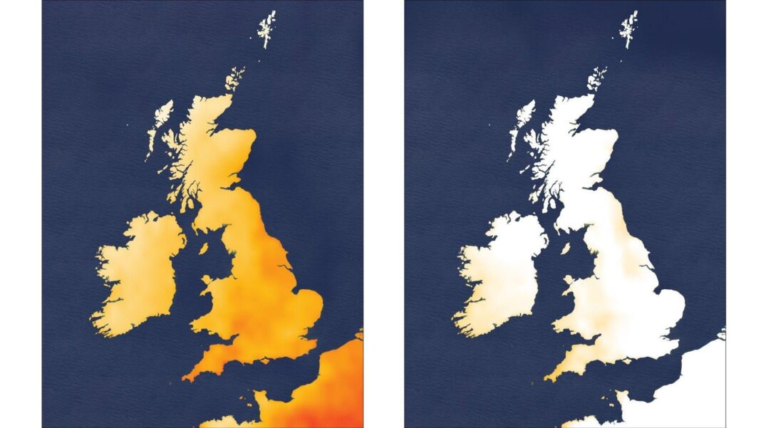
Maximum temperatures will be around five degrees lower than Monday’s values with 17 to 22C across the UK.
This is closer to the average for the time of year.
There will be a drier and brighter interlude on Wednesday, with the rest of the week staying a little unsettled with further spells of rain.
Temperatures will remain around average at 15 to 20C.
It will also start to feel a little chillier overnight with temperatures down to 8-12C – meaning those on early commutes to work or school might need to start donning extra layers.
However, while it might feel more autumnal and the right time to pack away the summer clothes, autumn – particularly September – is a fickle time.
Conditions can change with a simple switch in wind direction and we can go from chillier, autumnal weather to warmer conditions and then back again – all within a day.
-
New hurricane season record as ‘historic’ El Niño leaves Atlantic eerily quiet
-
Published4 days ago
-
-
Five night sky events to look out for this autumn
-
Published2 days ago
-
By Saturday, a west or south-westerly wind will bring something a little warmer with temperatures returning to above average.
With some signs of high pressure building and the prospect of drier and brighter weather, it might feel pleasantly warm for some, especially in south-eastern areas.
It is still a long way off but temperatures could rise temporarily further into next week.
The signs are, though, that a September heatwave is increasingly less likely.
-
-
Published3 days ago
-
-
-
Published3 days ago

-
-
-
Published9 hours ago

-