

This post was originally published on this site.
Amber heat health alerts for almost all of England as next heatwave begins
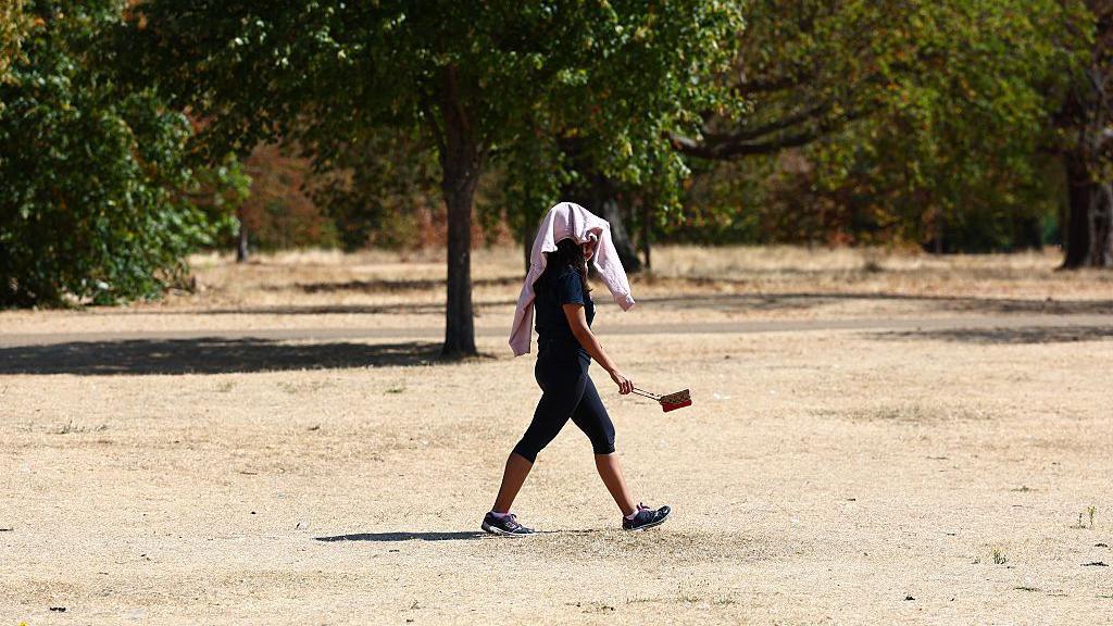 Image source, Getty
-
Published
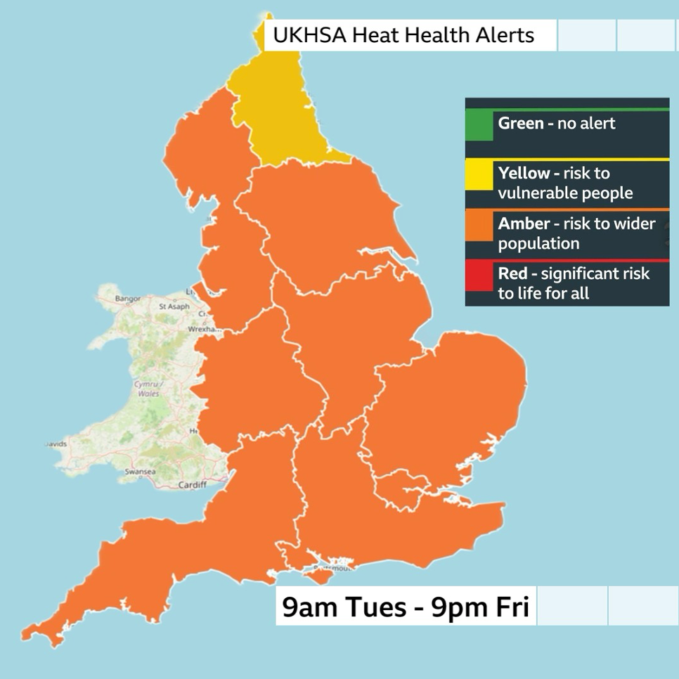
Amber heat health alerts come into force across most of England on Tuesday as temperatures start to climb again at the start of the summer’s latest predicted heatwave.
The UK’s Health Security Agency (UKHSA) is warning that significant impacts are likely across social and health care, including a rise in deaths.
The amber alerts will be in place until Friday evening to cover high and even extreme temperatures expected through this week.
During the peak of the heatwave temperatures across England and Wales will widely be in the low to mid-30s Celsius.
Amber alerts are in place for all regions of England, aside from the North East, which has been given a less intense yellow alert for the same period.
It comes after drought officials declared 71.3% of England is now in drought.
-
More than two-thirds of England now in drought
-
Published10 hours ago
-
How hot is going to get?
It has been a remarkable summer so far.
Temperatures have remained above average for most of it. Even in the “cooler” spells, they have only come down to near the average for the time of year.
On Tuesday the hottest weather will around east Wales, the Midlands and central southern England where temperatures will be around 27 to 30C (81-86F) – well into the heatwave temperature thresholds.
It will be a little cooler in East Anglia, London and south-east England, where it will be 22 to 26C.
The predicted temperatures, which are expected to rise as the week continues, have prompted the issuing of the UKHSA heat-health alerts
While those over 65 or with health conditions are most at risk of being impacted, people in younger age groups may also be affected with increased demands expected on all health and social care.
The hot weather will intensify and be more widespread on Wednesday.
In an area from South Yorkshire to east Wales, Somerset and east across England temperatures will be in excess of 30C.
Some of the warmth will spread further north into northern England, Scotland and Northern Ireland with temperatures into the low to mid-20s.
The hottest weather will be around the Midlands and south-east England with 31 to 33C.
By Thursday and Friday, extreme heat is most likely in parts of the Midlands, eastern and south-east England where temperatures could be as high as 35 or 36C.
As heat builds throughout the week, overnight temperatures will stay relatively high bringing some uncomfortable nights for sleeping.
Minimum temperatures may not go lower than 16 to 18C across England and Wales.
There is also a possibility of a “tropical night” – where temperatures remain above 20C all night – in south-east England.
While the heat will not be quite as intense or feel as humid as the heatwaves in June and July, the BBC understands the Met Office may be considering issuing extreme heat warnings.
That would suggest that, as well as health impacts, there could be some concerns about infrastructure such as the transport network and power lines.
The highest temperatures in June and July were 38C and 35.5C respectively.
For the first time in recorded history we are expecting a temperature higher than 35C to have been recorded in the UK for four consecutive months – underlining that this has been a year like no other.
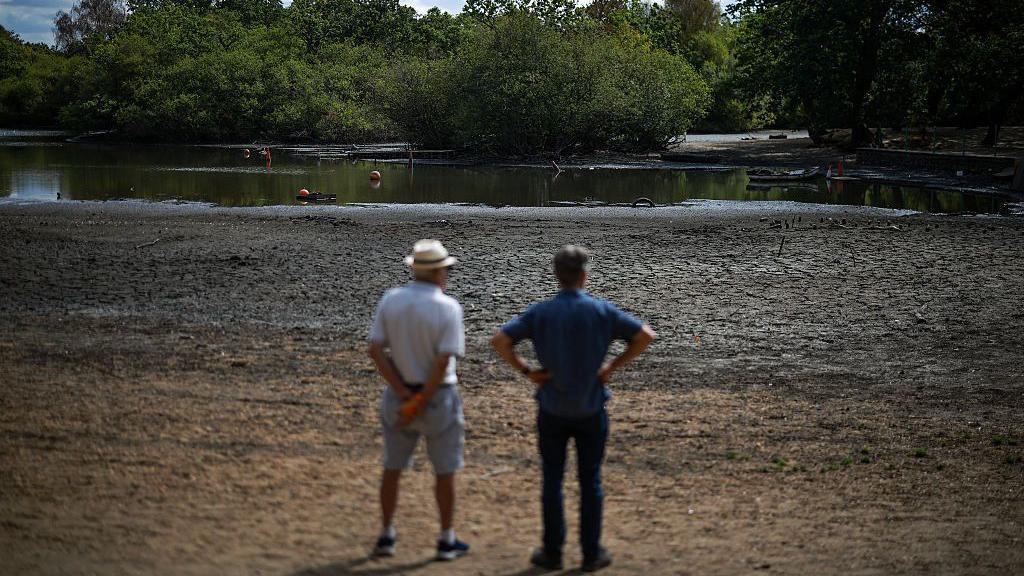 Image source, Getty
When will we get any rain?
On Monday afternoon the National Drought Group announced the East Midlands, Lincolnshire and Northamptonshire, Kent and East Sussex, and Solent and the South Downs were the latest areas to move into drought status.
This means that most of England – away from northern areas – are in official drought, with 45 million people living in a drought area and over 27 million with water restrictions, according to the group.
The announcement comes with no rain in the forecast through most of this week across England and Wales.
We have to look towards Sunday, where there are some signs of some rain coming into the UK from the Atlantic.
Low pressure bringing rain-bearing weather fronts will move in across Wales and southern England and – for some – a spell of rain.
While this does not currently look to be particularly heavy or persistent, there could be the first bit of proper rain for many in nearly two months.
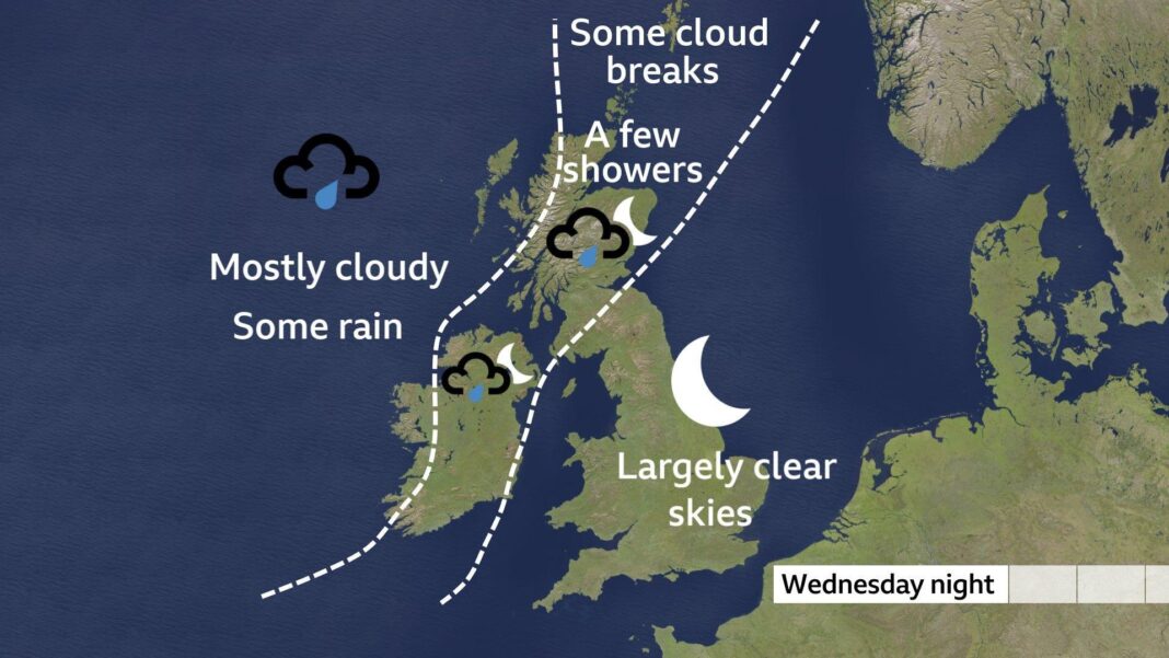
There could be a few showers at times across Scotland and Northern Ireland in the coming days, but these will be localised with most areas staying dry.
Longer-range forecasts are always subject to change but there may be a little bit more into next week – but the amount of rain in any location may still be highly variable.
Beyond that, high pressure and more dry conditions look to be dominating the final week of August.
How to prepare for the heat
-
-
Published22 June

-
-
-
Published25 June
-